
12 Best Christmas Gifts for Hunters (September 2026)
I have spent the last three Christmases buying for a serious outdoorsman in my family, so I know the frustration…

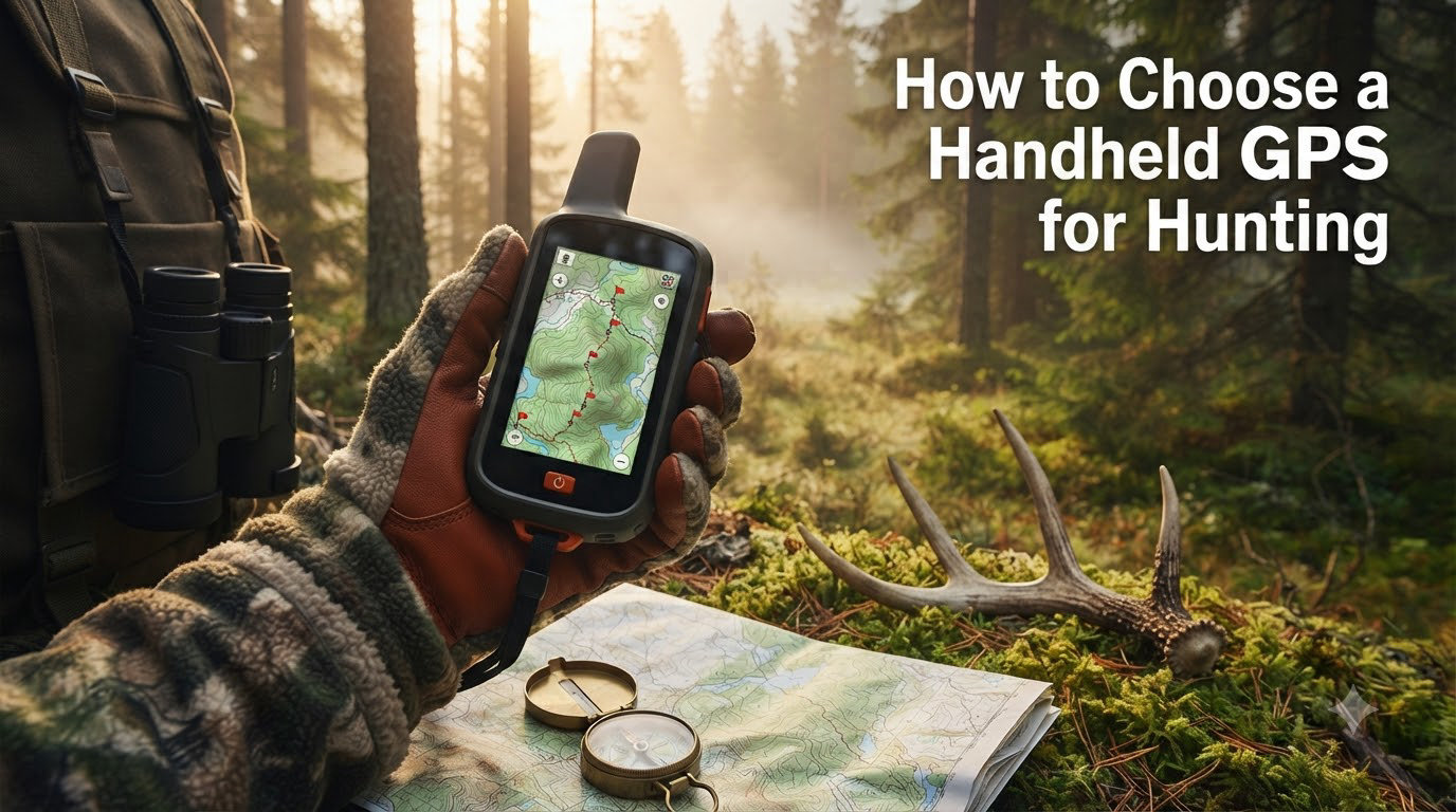
I lost a buck that should have been on my wall.
Eight years ago, I drove 11 hours to elk hunt a ridge in New Mexico I’d never seen. The topo map on my phone looked fine in the truck. Five miles in, my signal died, the screen went black at sunrise, and I spent three hours guessing which drainage held the herd. The elk were a mile past me, and I never knew.
That hunt taught me what no review could: a handheld GPS for hunting is not a luxury. It is the difference between filling a tag and coming home empty because your phone died at the wrong moment. This is the guide I wish I’d had before that trip, and it covers everything you need to pick the right unit in 2026.
Below I break down the exact features that matter, how the technology actually works, where phone apps fall short, and how to match a GPS to your specific hunt style. I’ll also cover the setup steps most buyers skip and the common mistakes that ruin a good GPS in the field.
A handheld GPS for hunting is built for the backcountry in ways a smartphone is not. Phones die in cold weather, lose signal under tree canopy, and run out of battery at the worst possible moment. A dedicated unit is rugged, water-resistant, and runs for days on AA batteries.
Cell coverage is unreliable in most of the country where big game lives. Public-land elk hunters often hunt drainages with zero bars. Dedicated GPS units connect directly to satellites and keep working when phones go dark.
Beyond navigation, hunting GPS units give you tools phones lack: preloaded topographic maps, the ability to mark hundreds of waypoints (game rubs, water sources, bedding areas), and on premium models, two-way satellite messaging with an SOS button that summons rescue from anywhere.
Which handheld GPS is most accurate? The short answer: any modern unit supporting multiple satellite constellations (GPS, GLONASS, and GALILEO) gets you within 3 to 5 meters under open sky. Tree canopy and steep terrain reduce that.
GPS (USA), GLONASS (Russia), and GALILEO (EU) are three independent satellite networks your receiver can tap into simultaneously. More networks means more satellites overhead, which means faster fixes and better accuracy in canyons or dense timber.
Two technical specs separate cheap units from serious hunting GPS devices:
Multi-band vs single-band receivers. Multi-band receivers use two frequencies to correct atmospheric distortion. You’ll see accuracy improve from about 5 meters down to 1-2 meters. For most hunters, single-band is fine. For backcountry elk hunters who navigate by GPS in tight terrain, multi-band is worth the premium.
Update rate. Standard GPS updates once per second. Units with 10Hz updates refresh your position ten times per second, which matters when you’re moving fast in the dark or marking a moving animal.
Barometric altimeters and 3-axis electronic compasses (often bundled as ABC sensors) round out the sensor suite. The altimeter tracks elevation more accurately than GPS alone, and the compass keeps pointing north even when you’re standing still.
When I evaluate any hunting GPS device, these five features determine whether it earns a spot in my pack. Skim this list as a checklist before you commit.
Battery life is the single most important spec. Look for units rated at 20+ hours of active use and 200+ hours in expedition mode (lower-power tracking that updates position every few minutes).
Rechargeable lithium batteries are lighter but die in cold weather. AA battery compatibility lets you carry spares and swap in the field. For multi-day backpack hunts, I always pick AA compatibility. Cold mornings in November kill lithium cells fast.
IPX7 rating handles rain, splashes, and brief submersion. For wet climates or waterfowl hunting, IPX7 is the minimum. Most quality hunting GPS units also meet MIL-STD-810 for drops, vibration, and temperature extremes.
Screen type matters as much as the housing. Transflective displays (like on most Garmin handhelds) are readable in direct sunlight without backlighting, which saves battery. Touchscreens are nice in camp but often unusable with gloves on. Button-only interfaces survive cold and wet better.
Preloaded topographic maps eliminate the most common field failure: forgetting to download maps before you leave cell range. Look for units that include detailed topo coverage for your state plus public and private land boundaries.
Offline capability means the unit works without any network connection. This sounds obvious, but cheap phones pretending to be GPS units often degrade when coverage drops. A true hunting GPS stores everything locally on internal memory or a microSD card.
Waypoint marking is the heart of hunting GPS. The ability to save a coordinate, label it (Scrape A, Water Hole 2, Bedding Area), and navigate back to it later is what makes these tools worth carrying.
Look for 1,000+ waypoint capacity and the ability to organize them in folders or as part of a route. Track recording lets you retrace your path on the way out, which is a lifesaver in featureless terrain or after dark.
Two-way satellite messaging and an SOS button aren’t required for every hunter. But if you’re hunting remote elk or sheep country, satellite communicators (like Garmin inReach technology) are a safety essential. Pressing the SOS button dispatches Search and Rescue to your exact coordinates.
Subscription plans vary. Budget an extra monthly fee for the satellite service, and confirm the plan covers the regions you hunt.
Can I use my phone as a hunting GPS? Technically yes, but with serious trade-offs. Here’s the honest breakdown based on hundreds of days in the field.
Battery life: A hunting GPS unit lasts 20-100+ hours on a charge or set of AAs. A phone running GPS, mapping app, and screen on may last 4-8 hours.
Durability: Dedicated GPS units are built to IPX7 or better. A phone in a case is still fragile. Drop your phone on a rock and your hunt is over.
Cold weather: Lithium phone batteries drain fast below freezing. Hunting GPS units with AA compatibility handle cold much better.
Coverage: Both rely on satellites for positioning. The difference is maps: a phone app needs downloaded maps and a working GPS chip, while a hunting GPS has everything onboard even with the screen off.
Cost: A quality phone with a hunting GPS app subscription (like onX Hunt or HuntStand) runs lower upfront. A handheld GPS costs more but lasts 5-10 years with no subscription.
My honest recommendation: use both. Carry a handheld GPS as your primary navigation tool and use a phone app for e-scouting at home and as a backup. This hybrid approach is what serious backcountry hunters rely on.
Different hunts stress different features. Here’s how to match a unit to your style.
Elk hunters cover big vertical terrain, often miles from the trailhead, in steep canyons that block satellite signals. You need multi-constellation support (GPS + GLONASS + GALILEO), AA battery compatibility for multi-day trips, and ideally satellite communication for emergencies.
Weight matters when you’re packing out an animal. Look for units under 9 ounces with carabiner clips so they ride on a pack strap rather than in a pocket.
Whitetail and mule deer hunters typically hunt closer to the truck but still need reliable navigation for marking stand locations, tracking wounded animals, and avoiding trespass on adjacent private land.
Property boundary overlays become critical here. Public-land deer hunters should prioritize units with detailed parcel data and landowner information baked into the basemap.
Waterfowl hunters deal with mud, water, and cold. IPX7 waterproofing is mandatory. Touchscreens fail in wet conditions, so button-based interfaces are better. Track recording helps you mark where you jumped birds so you can set up next time.
Multi-day backpack hunters need the lightest, most battery-efficient option. Expedition mode that extends runtime to a week is gold. Preloaded topo maps eliminate one more thing to forget.
A GPS that isn’t set up before you leave the truck is just expensive paperweight. Here’s the prep checklist I run through the night before every hunt.
Open your mapping software (BaseCamp, Garmin Explore, or your phone app) and study the unit. Mark promising glassing points, water sources, and access routes. Save these as waypoints and transfer them to your GPS via USB or Bluetooth while you still have Wi-Fi.
Compass drift is real. Calibrate the electronic compass before each hunt. Set the barometric altimeter to match the known elevation at your trailhead for accurate vertical tracking throughout the day.
With cold hands and gloves on, fumbling through menus is dangerous. Practice marking a waypoint, navigating to it, and dropping a track before you’re in the field. Clean the battery contacts with a pencil eraser to prevent corrosion.
How much should you spend? That depends on how remote you hunt and how long you want the unit to last. Here’s the tier breakdown.
Entry tier (around $150-$250): Basic handheld GPS with preloaded topo maps, no subscription, AA batteries. Enough for whitetail deer hunters close to the truck. Lacks satellite communication.
Mid tier ($300-$500): Adds GLONASS/GALILEO support, better screen, wireless connectivity, and sometimes basic satellite messaging. The sweet spot for most hunters.
Premium tier ($500-$800): Multi-band receivers, full two-way satellite communication with SOS, preloaded BirdsEye Satellite Imagery, and expedition mode. Built for backcountry hunters who venture a full day or more from the trailhead.
Brand landscape: Garmin dominates the hunting GPS market, and for good reason. Their ecosystem (GPSMAP, eTrex, Montana, inReach lines) covers every price point with proven reliability. Magellan holds a small share but with weaker map ecosystems. Garmin Explore and BaseCamp software work better than competitors, which matters when you’re transferring waypoints at home.
Used older flagship Garmin models (GPSMAP 66 series, inReach Mini 2) often deliver 90% of premium performance at half the cost. If you hunt once a year, used is a smart play.
I’ve made most of these myself. Save yourself the headache.
Forgetting to download offline maps. Phone apps are useless without maps cached for offline use. Check before you leave cell coverage.
Trusting battery indicators. Cold kills batteries fast. Carry spares and assume your reading is optimistic by 30%.
Ignoring the compass calibration. A drifted compass sends you off course. Recalibrate every morning.
Not marking the truck. Sounds obvious. After a long day and a quarter-mile walk with a heavy pack, you will thank past-you for marking the parking spot.
A handheld GPS for hunting is a dedicated navigation device designed for outdoor use, featuring topographic maps, waypoint marking, and often satellite communication capabilities for safety in remote backcountry areas. The right unit depends on your hunt style: backcountry elk hunters benefit most from multi-band receivers with satellite messaging, while whitetail deer hunters close to the truck do fine with a basic AA-powered unit that has preloaded topo maps and public-land overlays.
Modern handheld GPS units supporting GPS, GLONASS, and GALILEO satellite constellations typically achieve 3-5 meter accuracy under open sky. Multi-band receivers push that to 1-2 meters by correcting atmospheric distortion. Tree canopy, steep canyons, and weather reduce accuracy across all units. For most hunting applications, multi-constellation single-band is sufficient; only serious backcountry hunters need multi-band.
Phones work as a backup GPS but have serious limitations: 4-8 hour battery life under GPS use, fragile screens, and lithium batteries that drain quickly in cold weather. A phone app also depends on downloaded offline maps, which hunters sometimes forget. A dedicated handheld GPS unit offers 20-100+ hour runtime, IPX7 waterproofing, AA battery compatibility, and rugged construction. The hybrid approach, carrying both, is what serious hunters rely on.
Standard GPS use delivers 20-35 hours on a charge or set of AA batteries. Expedition mode (lower-power tracking that updates position every few minutes) extends runtime to 200+ hours. Cold weather reduces battery life significantly; lithium cells perform poorly below freezing. AA-powered units handle cold better because you can carry spare batteries and swap them in the field. For multi-day hunts, always pack extra batteries regardless of unit type.
Satellite communication is not required for every hunter, but it is a safety essential for anyone hunting remote backcountry. Two-way satellite messaging lets you check in with family and summon Search and Rescue via SOS button if injured. Subscription plans typically run $15-$65 monthly depending on message tier. If you hunt within cell range of roads and help, satellite communication is optional. If you hunt elk or sheep country a full day from the trailhead, it is not optional.
Picking a handheld GPS for hunting comes down to matching features to your hunt. Whitetail hunters on small public-land parcels do fine with an entry-level unit and preloaded topo maps. Elk and sheep hunters chasing animals in remote drainages need multi-constellation accuracy, AA battery compatibility, and ideally satellite communication. Most hunters fall in the middle, and a mid-tier GPS in the $300 to $500 range covers nearly every situation.
Use the checklist in 2026: battery life over 20 hours, IPX7 waterproofing, preloaded topo maps, 1,000+ waypoints, and a rugged screen readable in sunlight. Add satellite communication if you hunt far from the truck. E-scout at home, calibrate in camp, and never trust a battery indicator in the cold.
The right GPS won’t make you a better hunter, but it will keep you from getting lost in the dark like I did on that New Mexico ridge. Pick the unit that fits your hunt, learn it before season, and your only worry will be which drainage holds the herd.